Location of the Giza Plateau in the Nile Valley (Historical Map)
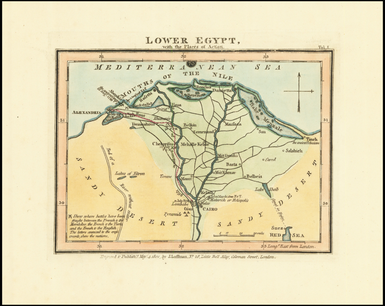
Historical map of the Nile Valley showing the location of the Giza Plateau near modern Cairo, where the Great Sphinx and pyramids are situated.
The map is a visual record of the various battle sites of the 18th century between the French, Mamluks, Turkish and English, indicating the political turbulence of the area at that time.
Source: Ruderman Rare Maps, Lower Egypt, with the Places of Action, John Luffman (1801)
Return to Images of the Great Sphinx of Giza (FAQ Image Index)